
West Coast Wildfire Smoke Affects Our Skies Over Amarillo
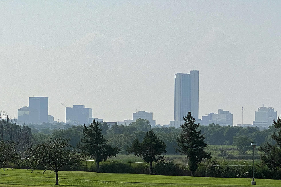
Sadly, the western coast of the United States has retained a new title over the last couple weeks due to the ongoing wildfires. Right now, that section of our country has the 'worst air quality in the entire world.' As you can see from the map above, the wildfires rage on from the Canadian border all the way down to the Mexican border. Further inland, wildfires continue through states as far east as Texas.
If you have been feeling like our air quality here in Amarillo has been different, you are correct. More surprisingly, the haze we have been seeing, especially at sunset, is from all these fires to our west. Smoke plume maps, like the one shown at the very top of this article, show that wildfire smoke has been carried south across Arizona and New Mexico, then right over top of the Texas panhandle. On the smoke plume map, the darker the gray color, the thicker the smoke will be. Clearly the map shows that is the case over the Amarillo area. From a scientific standpoint, it is amazing to see how our weather patterns and airflow can spread the smoke thousands of miles from it's source.
More From Mix 94.1